Well BE-639: the source that had to be proven
Adding a well to an ASADA's system takes more than its existence: it must be proven before AyA, the ORAC, and the Water Directorate. With GNSS and SINIGIR in between.
A real source, invisible to the file
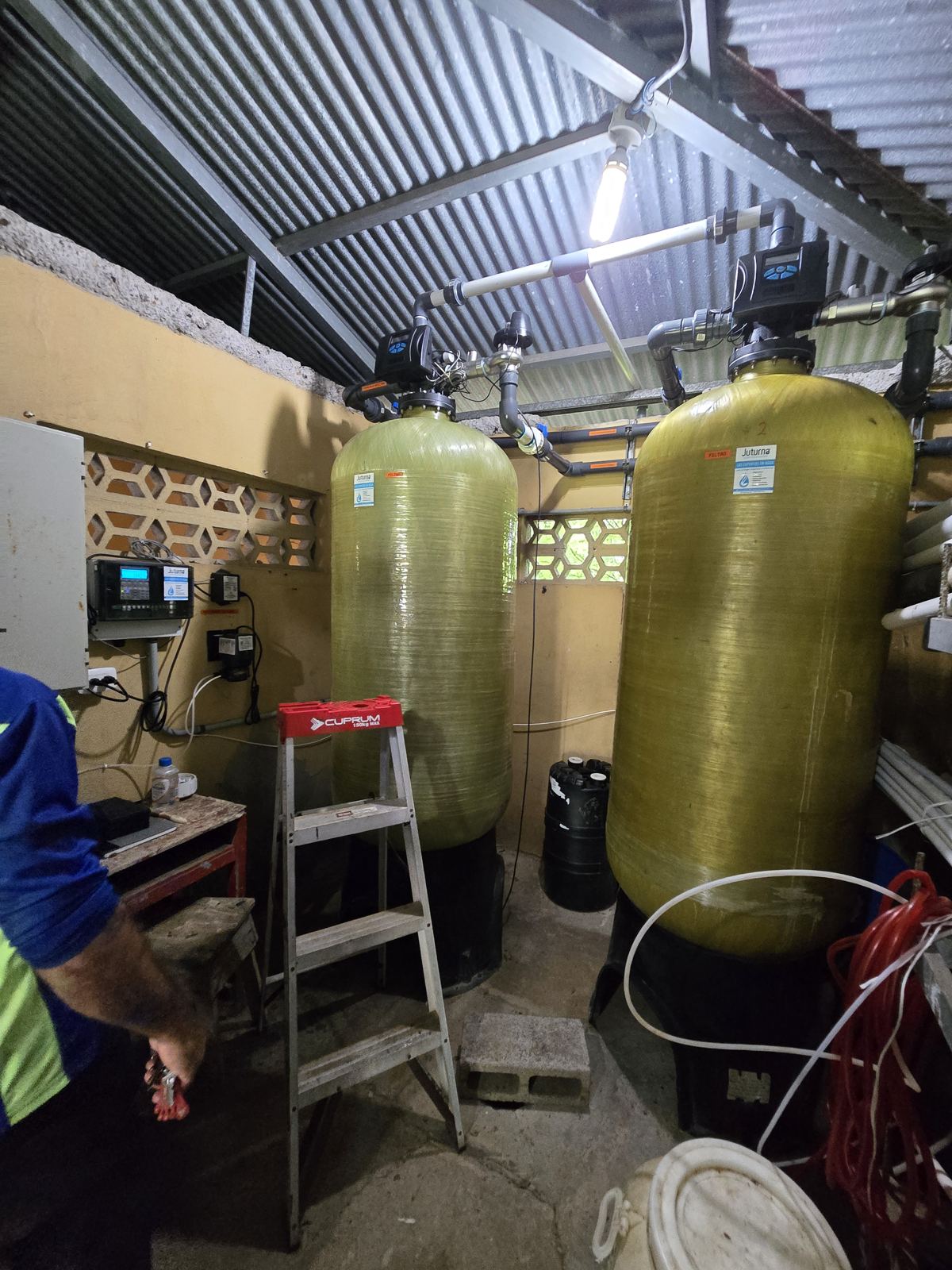
The project required demonstrating, technically and documentarily, the existence, location, physical condition, and validity of the Aurora La Luz BE-639 well to satisfy AyA, the ORAC, and the Water Directorate.
Three institutions, one standard: if the georeferencing doesn't match the official registries, the source doesn't exist for the system's purposes.
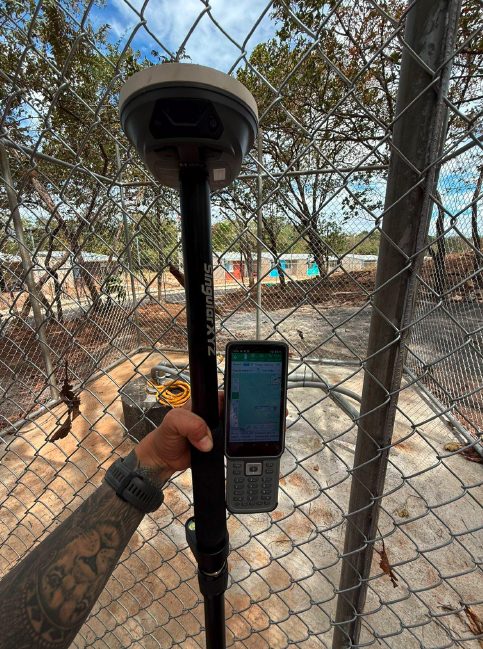
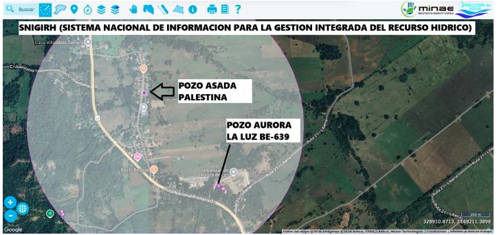
Precision GNSS against SINIGIR
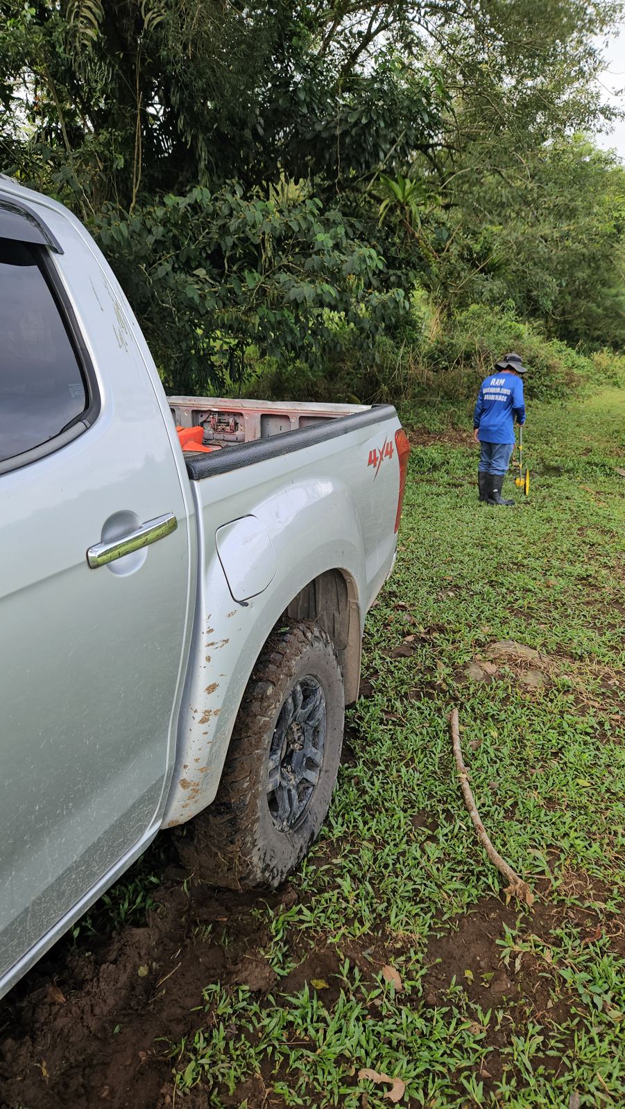
Georeferenced GNSS survey, field inspection, infrastructure verification, and spatial validation against MINAE's SINIGIR registries.
The deliverable: a professional technical report with photographic documentation and file analysis — evidence all three institutions could accept without objection.
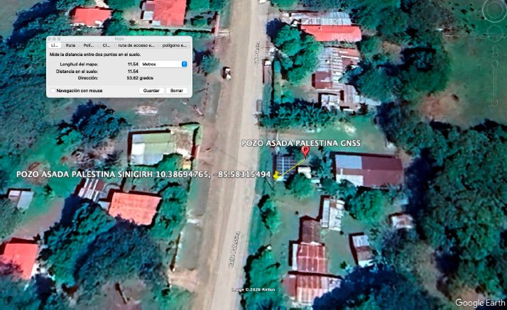
Source verified for the ASADA
The source was technically verified, backing the incorporation of well BE-639 into the system run by ASADA Palestina.
A case small in meters and huge in precision: the difference between a source that adds capacity and a file sent back.
The precision that makes a source exist
A well without valid spatial verification is lost capacity for the ASADA. GNSS, SINIGIR, and a flawless report recovered it. Does your system have unregistered sources?